A golf course digital twin, built from your own ground.
A golf course digital twin is a 3D model of the real course, hole by hole, that you can explore and measure in a web browser. Course Correct builds one from a drone flight and puts it to work for the crew that maintains the course, the people who plan it, and the golfers who play it.
What a golf course digital twin is
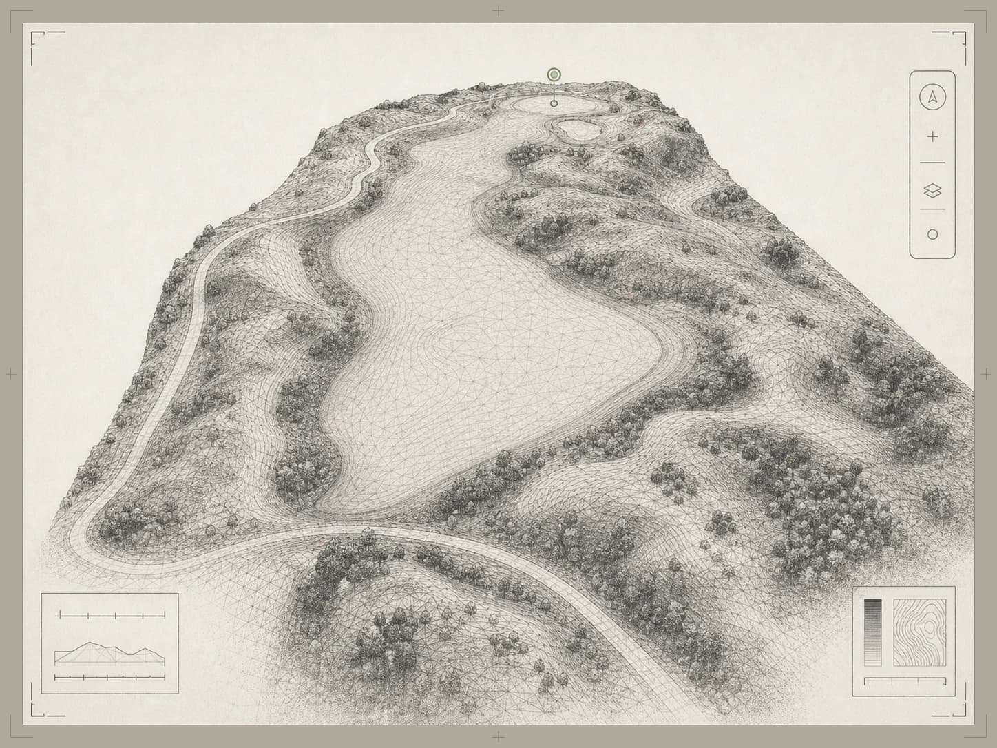
A digital twin is a model of a real thing that is close enough to the original to answer questions about it. For a golf course, that means every hole as a textured 3D model with the terrain underneath: you can orbit a green, measure a carry, read a slope, and see where water runs.
That sets it apart from a flyover video, which only plays, and from course artwork or a yardage-book illustration, which is drawn and not measured. The twin comes from imagery of your actual ground, so it shows the course as it is today. Our guide compares a flyover video with an interactive 3D tour.
What is in a Course Correct twin
Every capture produces the same four layers.
An explorable 3D course
Every hole as a textured 3D model you can orbit, fly through, and measure. It is the shared reference for staff, golfers, and guests.
Slope and elevation maps
Slope classes, elevation bands, and 0.5 m contours draped over each hole. See slope and drainage mapping.
Green guides
Contours, fall lines, and a slope reading wherever you tap, on a one-yard grid. See green guides.
Drainage
Water flow paths from minor runs to main channels, and a wet-areas layer on the aerial map, for staff.
How the twin is made
A mapping drone captures the course hole by hole, early in the day and around your tee sheet. The flying is usually a morning or two, scheduled with your superintendent.
The imagery then becomes one explorable model of the property, with elevation, slope, drainage, and per-green contours derived from it. Processing takes days, not weeks.
The method is drone photogrammetry. Our guide to photogrammetry and LiDAR for golf courses explains what it records and where its limits are.
Who uses it
The same twin answers different questions depending on who opens it.
Superintendents and crews
Pin a problem on the course where it is, read slope and drainage before deciding what to do about it, and measure on the model. See course issue tracking.
General managers and owners
Measure a project before the renovation conversation starts, see every open issue on one board, and put the course on the club website. See renovation planning and interactive 3D course tours.
Golfers
Tour each hole, check per-tee yardages with plays-like distances, read the greens, and ask an AI caddie that answers from the hole. It opens from a link, with no account and no app.
What it is not
The twin is working detail for maintenance, planning, and play. It is indicative, not survey-grade, and it is not a licensed survey. Engineered work should still be checked against one.
It is also not software to install. It opens from a link in a standard browser, and the staff tools sit behind sign-in with roles the club controls.
Questions about golf course digital twins.
A 3D model of a real golf course, built from measurements of the actual ground, that you can explore and measure in a browser. A Course Correct twin has four layers from one drone capture: the explorable 3D course, slope and elevation maps, green guides, and drainage.
A flyover video is a recording that plays the same way for everyone. A digital twin is a model: a visitor can stop, look around and measure, and staff can lay slope, drainage and issues over the same ground.
The flying is usually a morning or two, planned around your tee sheet and scheduled with your superintendent. Processing takes days, not weeks.
The terrain comes from centimeter-scale drone elevation data, with slope and contours computed on a half-meter grid and greens on a one-yard grid. That is working detail for maintenance, planning, and play. It is not a licensed survey, so engineered work should still be checked against one.
We price each course on the demo call, where you get a straight answer on what your own course would cost and how long it would take.
No. The twin runs in a standard web browser. Golfers open a link with no account and no app, and staff sign in to reach their tools.
Golf course drainage and slope mapping
Drone mapping for golf course superintendents: slope classes, 0.5 m contours, water flow paths and wet areas, drawn from elevation data of your own course.
ReadPlatformInteractive 3D golf course tour for your club website
Embed an interactive 3D golf course tour on your club website with one iframe. Visitors explore each hole, and you see which holes hold their attention.
ReadGuideDrone photogrammetry vs LiDAR for golf course mapping
What drone photogrammetry and LiDAR each measure on a golf course, where each one struggles, and which to choose for drainage, renovation and 3D course models.
ReadBook a demo.
We'll walk you through a live course twin: the staff tools, the golfer experience, and how it sits on a website. Then we map out what your course would involve. Bring your team and decide from there.
- A live twin in the browser, not a slide deck
- Issues, terrain layers, and measuring tools on a real course
- The golfer experience and the website embed