 The experience
01
An explorable digital twin
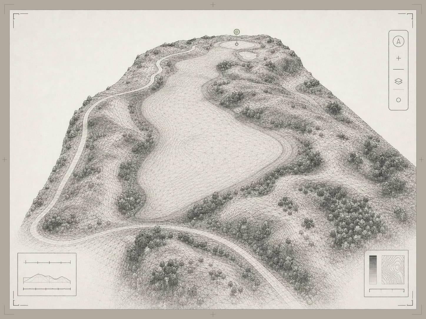
Golfers orbit, fly, and walk every hole from any device — the centerpiece of your website, not another flyover to sit through.
Course Correct replaces flyover videos and static hole maps with an interactive 3D digital twin of your course — embedded on your own website, with a booking path built in and analytics that show what future guests actually explore.
Course pages inspire unevenly, connect weakly to booking, and reveal little about what a visitor values. Every piece of legacy hole content has a stronger replacement.
Plays once, the same way, for everyone.
Visitors pan, orbit, zoom, and explore every hole at their own pace.
An artist's impression of the hole.
Real terrain — elevation, hazards, green contours — captured from your course.
Tucked in the nav, far from the inspiration.
The booking path appears inside the experience, right when interest peaks.
Counts visits; explains nothing.
Exploration depth, signature-hole interest, and booking clicks you can act on.
Every scan powers the guest-facing experience on your website — and hands your team decision-grade terrain data on the side.
The experienceGolfers orbit, fly, and walk every hole from any device — the centerpiece of your website, not another flyover to sit through.
 Course character
Real slope and elevation render the drop on your signature hole and the tilt of every green complex — the character a static map can't sell.
 Green guides
Dense contours for every green — the read guests pore over the night before their round, hosted right on your site.
 For the shop
The same scan traces drainage flow paths and collection points across the property — agronomy value included, no extra flight.
A mapping drone with RTK positioning captures all 18 holes in a single morning. One visit, one crew, and we're off the property before most of your tee sheet arrives.
Millions of geotagged points become one accurate, explorable model of the whole property — elevation, slope, and per-green contours, referenced to the centimeter.
Embed the twin on your own site and share links anywhere — then watch the engagement dashboard show which holes, tours, and booking clicks your visitors actually make.
A flyover asks golfers to take your word for it. A survey-grade twin lets them check for themselves — and its analytics let you check what worked, hole by hole, click by click.
RTK-corrected ground control
The whole property, one morning
Runs in the browser — and inside your website
Every fairway and green is survey-referenced, so what golfers explore is what they'll play — not a stylized rendering.
First-party, cookie-free analytics show which holes get explored, which tours run to the end, and who clicks through to book.
The twin drops into your existing website with a single iframe — no plugin, no page rebuild, no seats to buy.
The engagement dashboard treats your course page like a commercial channel — connecting what visitors explore to the booking actions that follow.
Which holes earn attention and for how long — find the signature moments that actually sell the round.
Who watches a guided tour or flyover to the end, and who drops early — per hole, per kind.
Booking prompts shown, clicked, and the click-through rate — with your session carried onto the booking page for attribution.
Which campaigns, referrers, and channels send visitors who explore deeply — UTM-aware from day one.
Phone vs. desktop, first-time vs. returning explorers — see who comes back to walk the course again before arriving.
Green guides, tours, measurements, sharing — which parts of the experience your guests actually use.
First-party & anonymous — no cookies, no fingerprinting, no third-party trackers
The same twin sells the course out front and answers questions in the shop. Nothing to configure — the layers are all there from day one.
Replace the flyover video with the twin and put a booking button where the inspiration happens — not three clicks away in the nav.
The engagement dashboard shows exploration depth, signature-hole interest, and the click-to-book funnel — not just pageviews.
Send explorable links to outing planners, event hosts, and prospective members — they walk the course before they ever visit.
The same scan traces drainage flow paths and collection points, so drainage work starts where the water actually goes.
Slope maps show where grade fights heights of cut, pinnable zones, and traffic — argue from the model, not memory.
Re-fly after a project or a wet season and compare surfaces directly. The difference is measured, not remembered.
Send the exact holes their group will play — they arrive at the site visit already sold on the day.
Let them walk the course before the tour. The twin does the first conversation for you.
A shareable link the group chat can explore together — the round gets picked on the twin, not the brochure.
Yes — that's the point. The twin drops into any page of your existing site with a single iframe, on any CMS, and it runs in a standard browser on laptop, tablet, or phone. Nothing to install for you or your visitors, and no plugin or page rebuild required.
The engagement dashboard shows which holes get explored and for how long, which tours run to the end, where visitors come from, and how many click through to your booking link. It's first-party and anonymous by design — no cookies, no fingerprinting, no third-party trackers following your guests around the web.
A live course twin in the browser, the embed running inside a real webpage, and the engagement dashboard behind it — plus straight answers on what your own course would cost and how long it would take.
One morning. We plan the flight around your tee sheet and capture the entire course in a single session — the drone stays high and quiet, and we're gone the same day. If a hole or two needs to be clear for a few minutes, we schedule it with your superintendent ahead of time.
Days, not weeks. Processing turns the flight data into a finished, explorable model shortly after we leave the property — then it's one embed snippet away from your website.
Centimeter-level. Surfaces are RTK-corrected against ground control and documented — which is why the same twin that sells the course also doubles as working terrain data for your superintendent.
We'll walk you through a live course twin — the experience your guests would see, the embed on a real webpage, and the engagement dashboard behind it — then map out what your course would involve. Bring your team and decide from there.